Eype
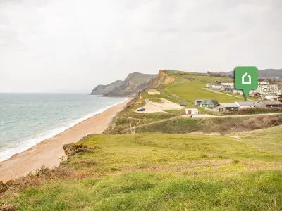
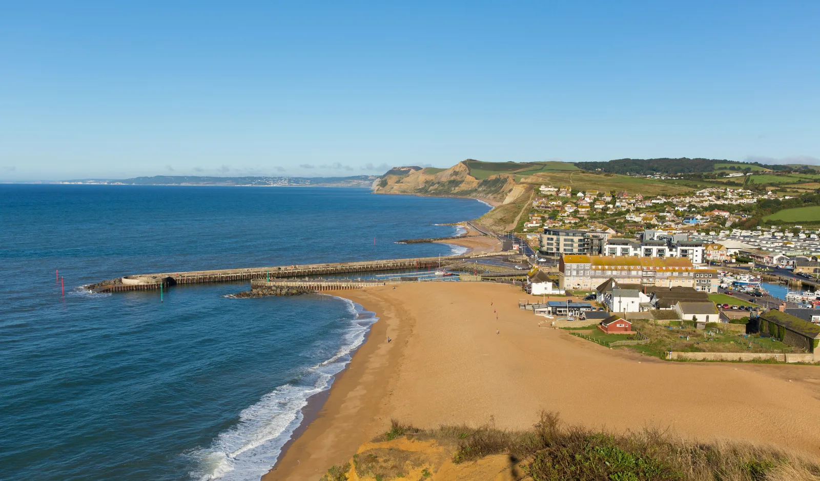
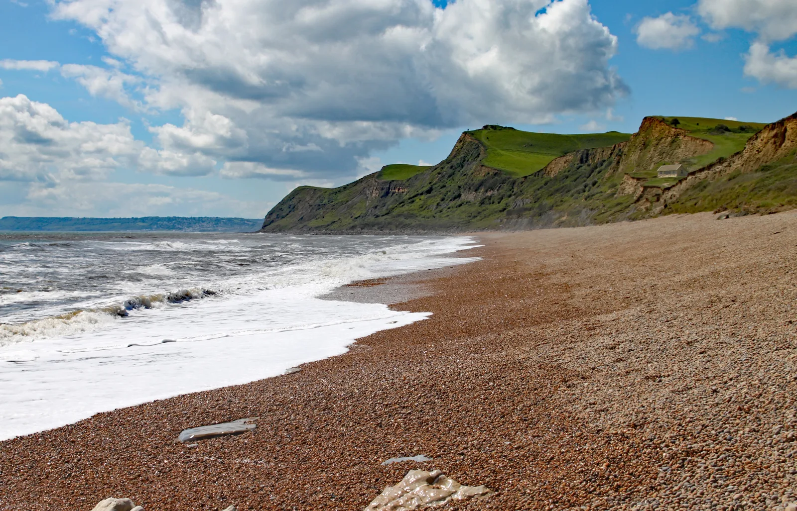
Shingle beach village below Thorncombe Beacon
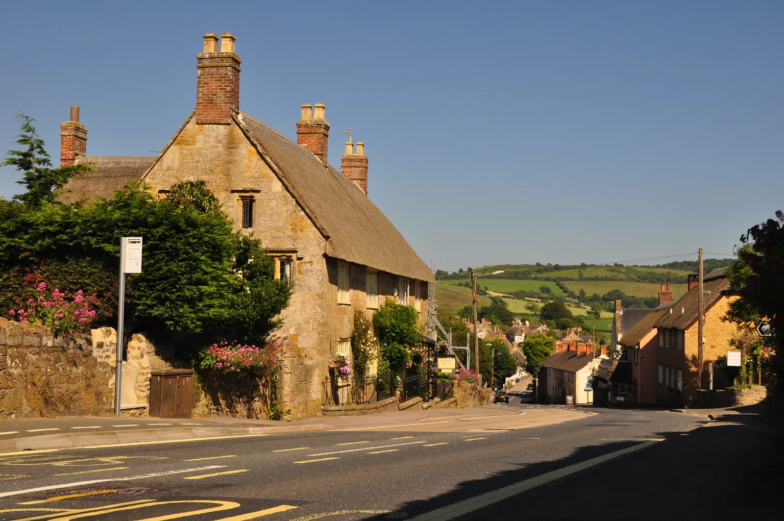
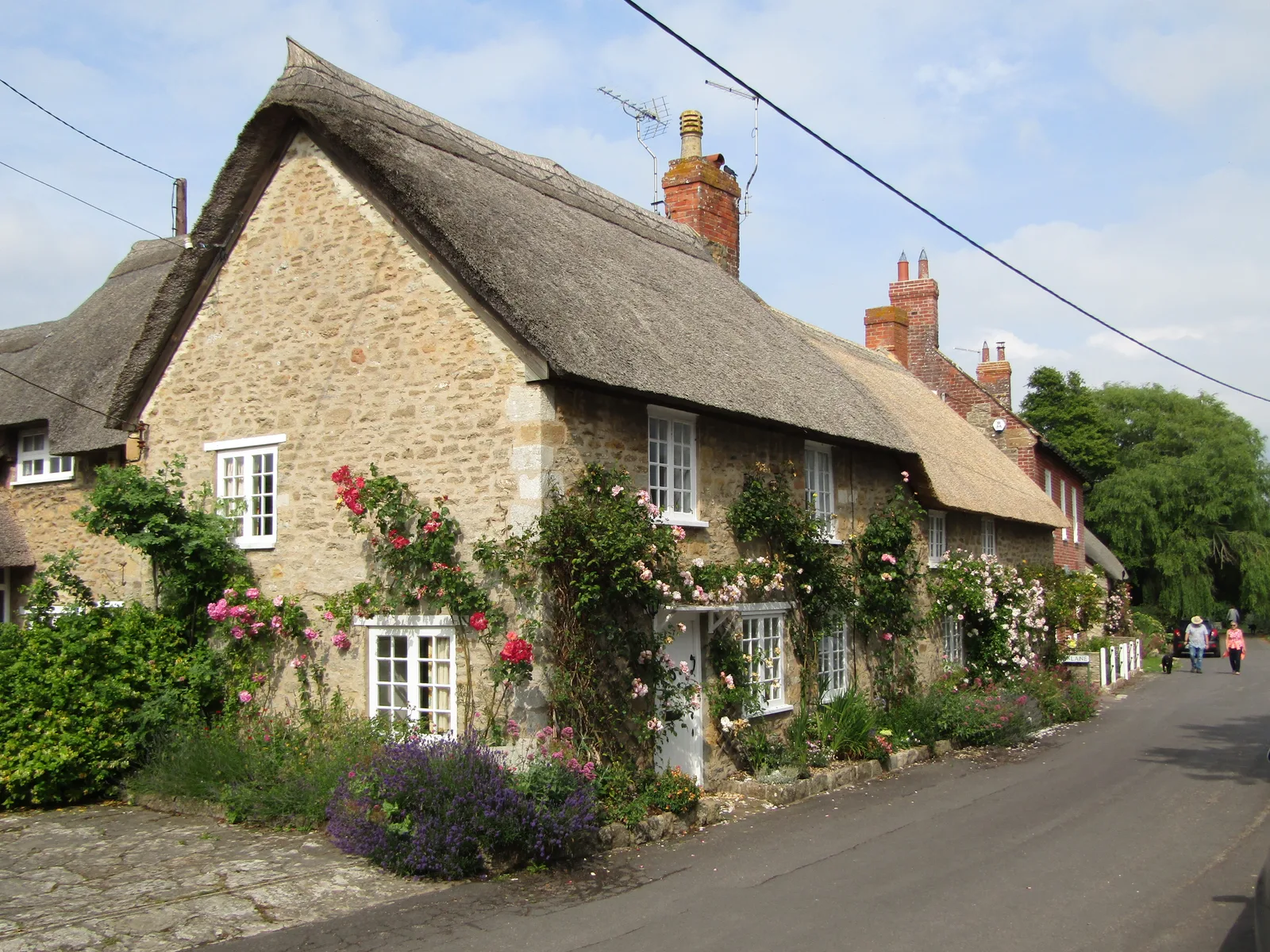
Eype is a small village in west Dorset, 1.25 miles (2 km) south-west of Bridport, on the Jurassic Coast World Heritage Site. The name means “steep place”, which suits the ground: the river meets the sea at Eype Mouth on a shingle beach, with cliffs rising on either side. It is in the civil parish of Symondsbury.
West of the beach is Golden Cap, at 191 m (627 ft) the highest point within a mile of the south coast of Great Britain. The National Trust owns the hill, and the summit can be reached by a coastal footpath from Seatown. Closer to the village, a 3 mile (5 km) walk from Eype Beach car park takes about 2 hours. It crosses Eype Down, follows the coast path to Thorncombe Beacon, and passes Doghouse Hill. The highest point is 500 feet, with views from the Isle of Portland to Devon.
St Peter’s Church, in the village, is now the Eype Centre for the Arts and hosts exhibitions and concerts. It was used to record P J Harvey’s Mercury Prize-winning album Let England Shake.
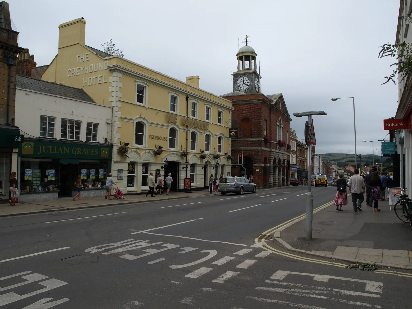
Behind Golden Cap, Langdon Wood is a small wood of mainly Corsican Pine planted in the 1950s, with a roughly one-mile circular walk. Bridport is the town 1.25 miles to the north-east of Eype.
Where to stay
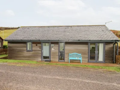
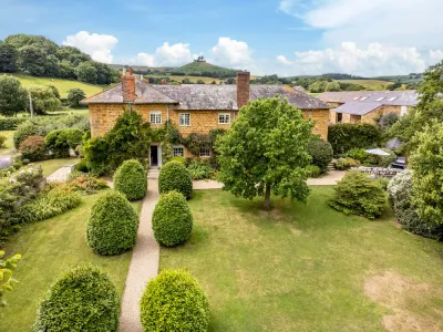
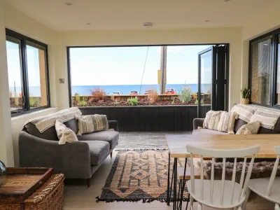
Places to Stay in Eype
Compare the property layouts, facilities and booking details.
Live availability in Eype
Sample dates: 30 October 2026 - 1 November 2026. Adjust below to see live prices for Eype.