Photo: Malc McDonald / Geograph, CC BY-SA 2.0 · Licence
Wareham
Saxon walled town on the rivers Frome and Piddle
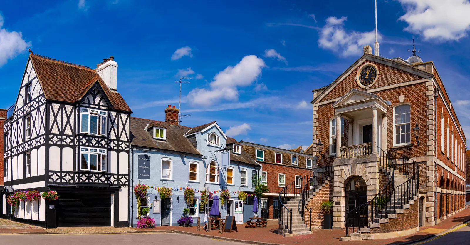
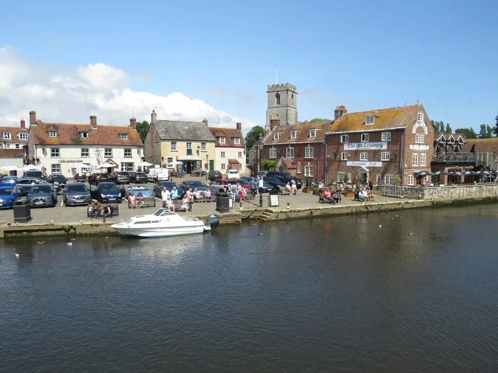
Wareham is built on a dry point between the River Frome and the River Piddle, at the head of the Wareham Channel of Poole Harbour. It had 5,877 residents at the 2021 census. The chalk ridge of the Purbeck Hills lies about four miles to the south, and the town is the usual way into the Isle of Purbeck.
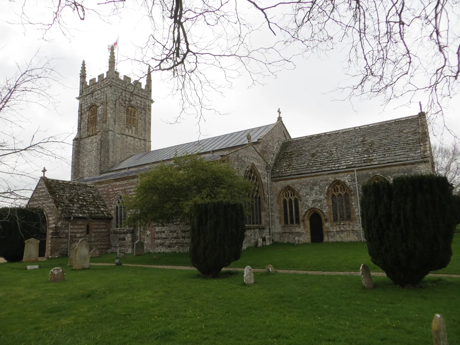
The earth ramparts around the centre were built in the Saxon period, probably under Alfred the Great in the 9th century. The Dorset National Landscape team publishes a 1.2 mile self-guided history walk around the town. It is generally flat on tarmac, dog friendly, and takes about 90 minutes if you stop to read the panels. It passes the site of the Norman castle, Streche’s Almshouses, first built in 1418, and St Mary’s Church, whose origins go back to the 700s. The Great Fire of 1762 destroyed many of the town’s buildings. Public toilets are on Wareham Quay, and the walk suggests parking at Streche Road car park, where charges apply.
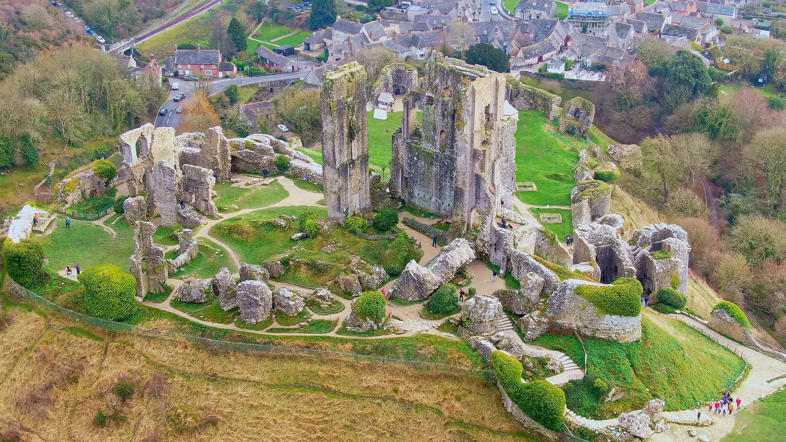
Wareham railway station is on the South West Main Line, so you can arrive without a car. Corfe Castle village is around four miles south-east of the town (see Corfe Castle), with Swanage about four miles beyond it. The Tank Museum at Bovington lies west of the town and gives Wareham as its postal address; the Tank Museum page has the details.
Where to stay
Places to Stay in Wareham
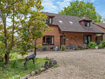
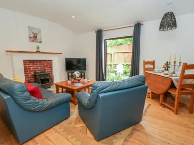
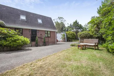
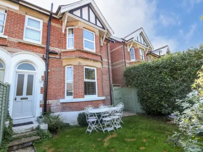
Compare the property layouts, facilities and booking details.
Live availability in Wareham
Sample dates: 30 October 2026 - 1 November 2026. Adjust below to see live prices for Wareham.